From www.ius-online.eu
airborne inspectors
Under the trade mark Airborne Inspectors we offer airborne services in the fields of technical inspection and enviromental monitoring.
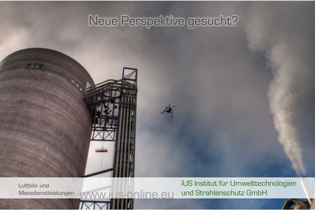
With our high-end UAS (unmanned aerial system) of the type Astec Falcon 8 we are able to shot high definition aerial photographs, videos or measure in-air.
Depending on the airspace, flights up to 300 m (900 feet) are feasible (Might be depending on airpspace regulation in your country). The GPS based navigation of our UAS allows us to shoot photos in predefined grids that can be stiched together to large scale high-resolution pictures. With the aid of the GPS data, large numbers of data can be combined to orthophotos and even simplified 3-D models. We are also able to do round-shots and panoramas.
Applications for this technology are:
- Presentation of your site, documentation of open air storages, inspection of roof surfaces and installations for industrial clients
- Documentation and orthophotos for open pit mining, repositories, landfills
- Documentation and damage survey for insurances and their clients
- Documentation and presentation of premium proberties i.a. for estate agents
- Reconaissance and hazard detection, i.a. in civil protection and homeland security
- Environmental measurement
We have a premium insurance, covering all EU countries.
In order to complete your documentation requirements, we also offer ground based HDR- and panorama shots. In confined space, full spherical documentation is feasible.
Don't hesitate to ask us. we are pleased to send you an individual offer according to your special needs.

